This blog post was inspired by
the World Space Week 2020 topic
“Satellites improve life”.
Some people think of satellites as high-tech machines that scientists launch into space who-knows-what-for. But the truth is, satellites have long since become part of our day-to-day lives and they support us in more ways than we can imagine.
It all started 63 years ago…
Over half a century ago, on October 4, 1957, the Soviet Union launched the first artificial satellite, Sputnik 1, into Space. Although it did nothing more than fly around the Earth and beep on its way, Sputnik 1 was a tremendous success that marked the beginning of the Space Age.
Modern satellites have come a long way from that simple Sputnik machine. Today’s crafts guide us to our destinations, help us stay in touch, keep an eye on the weather, help us predict and track natural disasters, assist us in search and rescue, monitor climate change and so much more!
Satellite technology for YOU
Do you think that YOU are not using satellite technology? Think again! We bet you take advantage of several types of satellites before you even get to work! Shout out if you do one of the following
- Check weather forecast before choosing what to wear
- Watch morning news
- Write a last-minute email
- Use sat nav as you drive to work (maybe to check for congestion and roadwork?)
Yes! All those things are possible thanks to the space-based technology! But satellite work is not limited to entertainment and navigation. Some jobs satellites do can make all the difference between life and death – for an individual or even for the whole planet.
JOB: MONITOR CLIMATE CHANGE
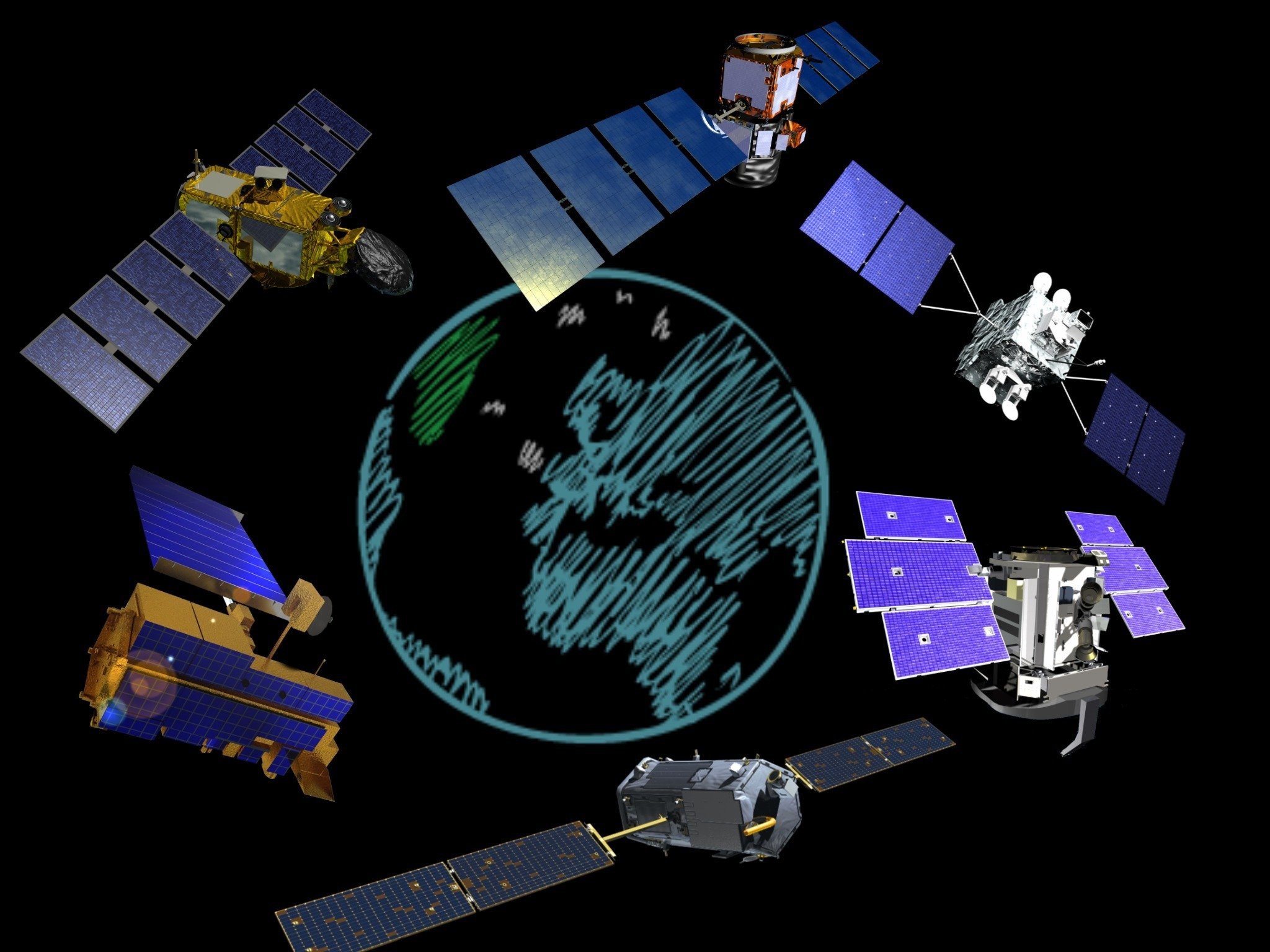
Satellites play an absolutely vital role in monitoring and measuring climate change. There are over 150 orbiting laboratories looking down at the Earth at the moment. They keep an eye on the temperature, atmospheric gasses, sea level, ice cover and many other parameters. The data these satellites gather allow scientists to make long-term climate change predictions and plan mitigation measures.
The next climate mission to be launched is Copernicus Sentinel-6 (recently renamed Sentinel-6 Michael Freilich, in honour of the former director of NASA’s Earth Science Division). The mission, developed jointly by NASA, ESA and several other organizations, will take off on November 10th 2020.
Sentinel-6 Michael Freilich will use radar to measure the sea-surface height at higher resolution than ever before as well as the temperature and humidity of the atmosphere. This data is crucial for improving the climate change models and also for more accurate weather forecasting.
JOB: PROVIDE IMAGING FOR NATURAL DISASTER MANAGEMENT
When a natural disaster (such as flood, wildfire, earthquake, landslide, tsunami) occurs, it is vitally important to evaluate the damage and plan response and rescue operations as quickly as possible. To do that, first responders use a combination of satellite images. Satellites can see through clouds and smoke and can tell a rescue team which roads are blocked, which buildings collapsed, how the fire is spreading, where it is safe to evacuate people to and so much more.
The precious satellite images can be acquired free of charge via The International Charter Space and Major Disasters. The Charter is an international collaboration that involves national space agencies and satellite companies. Only ‘authorized users’, that is disaster relief organisations, can ask for the Charter’s assistance.
In September 2020 alone the Charter provided assistance in 5 disaster events: wildfires in Argentina and Bolivia, floods in Nigeria and Sudan and typhoon in Japan.
JOB: DETECT DISTRESS SIGNALS
Have you ever seen a movie in which a boat is sinking, its passengers activate a beacon and the rescue team arrives half an hour later? That’s probably a Cospas-Sarsat beacon!
(If no help arrives and the movie ends badly, that’s another type of beacon, the one that sends signal to nearby ships rather than satellites – which, obviously, is not good when there is little marine traffic in the area.)
The International Cospas-Sarsat Programme is a multinational initiative aimed at detecting -with satellites – the 406 MHz signals transmitted by distress beacons. Many governments and space organizations joined their forces in order to provide this life saving service. The Cospas-Sarsat satellites are not specialized ‘search and rescue’ satellites. No, they listen for the distress signals in addition to doing their main jobs, such as, for example, GPS navigation or weather monitoring.
Just like with natural disasters assistance, satellites can do a better job detecting a distress signal than ground-based or airborne receivers. Satellites fly higher, and their performance does not depend on the weather or local topography. There is a large number of satellites up in orbit and they can pick up a distress signal from just about anywhere on our planet.
It is worth mentioning that Cospas-Sarsat only monitor the 406 MHz frequency, but they do not make or sell the transmitters. You can buy a Cospas-Sarsat beacon from a commercial provider. Make sure you buy the right type and register your device with your local rescue organization. There is no subscription fee and no further charges for the service.
There are several types of Cospas-Sarsat transmitters that work in different environments
- ELT (or Emergency Locator Transmitters) for aviation
- EPIRB (Emergency Position-Indicating Radio Beacons) for marine use
- PLB (Personal Locator Beacons) for personal use on land or aboard a small vessel. PLBs became available relatively recently and are now very popular with skiers, snowboarders, hikers and mountaineers.
If one of these 406MHz beacons is activated, a Cospas-Sarsat satellite within the range picks up the distress signal. The satellite then sends this information [beacon ID and its coordinates] down to the ground station where it is verified. If the signal is confirmed to be an emergency, a local rescue agency is notified. Soon, help is on its way.
Since the system became operational in 1982, over 48 000 people were rescued with the aid of this satellite technology (source).
If you enjoyed learning about satellites, check out our other blog posts
- Where do retired spacecraft go?
- Satellite navigation and and how it works
- How to talk to a far-away spacecraft: Deep Space Network
- Will the light pollution from satellite constellations ruin the the dark sky?
- Satellite teamwork: ESA Solar Orbiter and NASA Parker Probe will study the Sun together!
And, as always, feel free to send your questions and comments to our Star Dome team. We would love to hear from you! To book a Portable Planetarium visit, please go to http://wonderdome.co.uk.